Monday, August 26, 2013

Rome Sand Plains


The Rome Sand Plains is one of only a few inland pine barrens in the nation, (see list here).  Fine grain sands  had accumulated in the shallow areas of the eastern shore of the ancient Lake Iroquois, wide swaths of which were later exposed in Rome, NY when the glaciers receded,  The west wind then blew them into high sand dunes while the low areas became peat bogs.  There are still some exposed sand dunes with pine barrens,wetlands, and northern hard woods interspersed with transitional meadow with unique birds, butterflies and plants.

The Rome Sand Plains is owned and managed by a consortium of the New York State Department of Environmental Conservation, The Nature Conservancy (TNC), the Izaak Walton League, Oneida County, the City of Rome and private landowners.  More than 4000 of the 16,000 acres of the Rome Sand Plains are protected.


An exposed sand dune is easily seen from this trailhead parking on Hogsback Road.  We followed a foot trail that went to the top of the dune and exited to the road.  This turned out to be Bog Trail.


At another parking lot, we followed a trail which lead to another exposed sand dune. This appears to be a popular target shooting area based on the remnants of targets on the dune, spent shells and other garbage on the ground.  What a shame to do this damage to a natural wonder.  The first sand dune we saw also had some spent shells and casings on the ground in spite of the clear warning against target shooting in the area.


As we headed back to the parking lot, we saw another trail on the left which lead to a gently sloping sandy hill bordered by pitch pines with new growth close to the trail.  There was even a bench at the edge of the trail, at a large open area.  Could this be the Sand Dune Trail?  We did not find any sign and could not find this on any trail map.
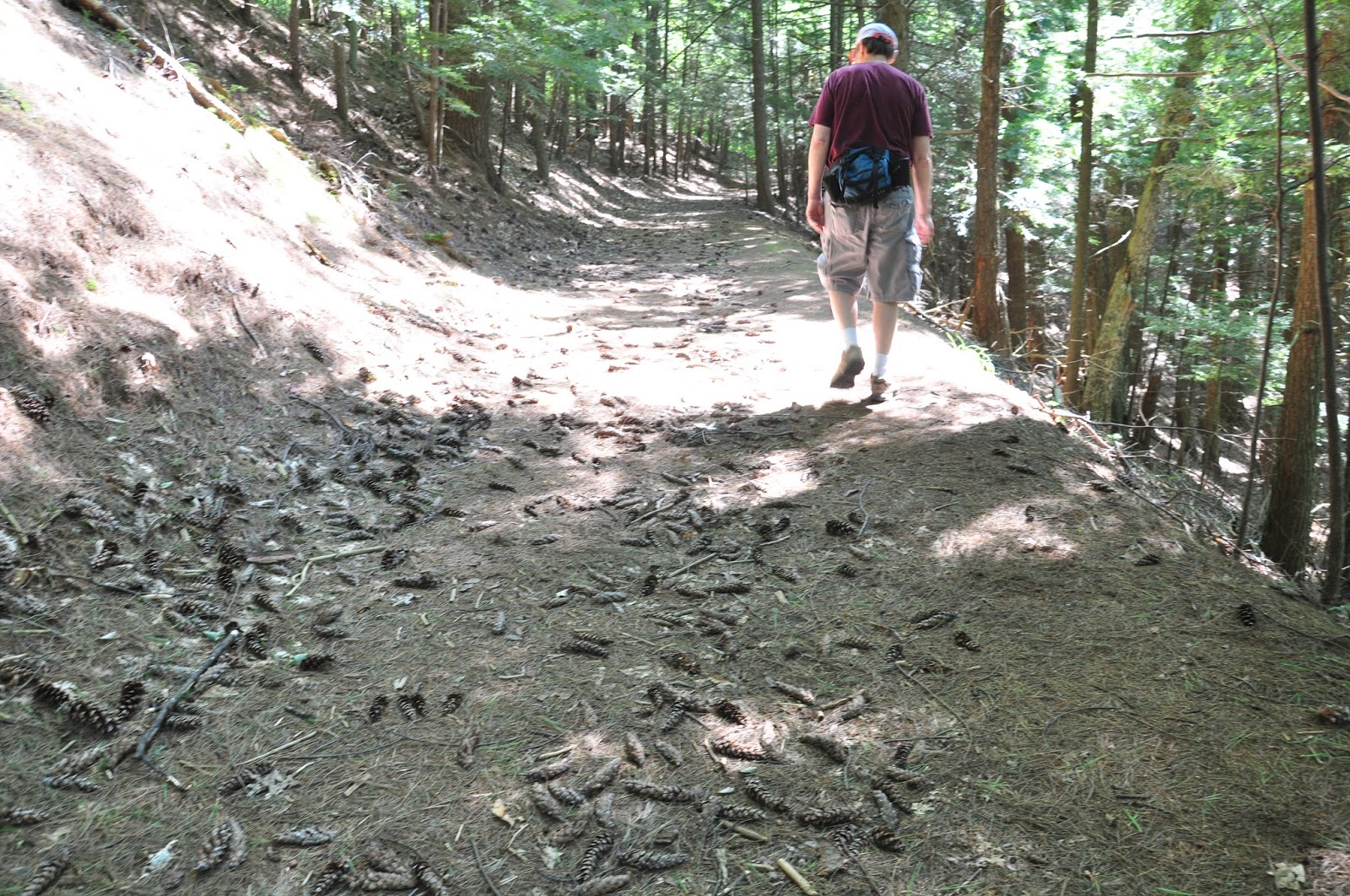
As we continued, we ended up at the trailhead for Wood Creek Trail.  The informational signs describe the geologic history of the sand plains and the navigational significance of Wood Creek.


We signed the registry then proceeded along the 0.6 mile trail along the crest of a dune.  There are tall white pine, hemlocks and oaks with moss and lichens covering some of the barren areas.  The trail narrows as it approaches the banks of Wood Creek.  We turned around and followed the trail back to the parking lot.


Wood Creek


 We were a little disappointed for not seeing any blue lupine or frosted elfin butterfly and the litter around the exposed dunes left a sour note to the hike.  It was nevertheless interesting to walk on the sand dunes and discover the vegetation they support.  Maybe we'll come back next time to walk the slightly longer Blue Trail.

Tuesday, August 20, 2013

Lumberjill Championship at the Woodsmen's Field Days


The Woodmen's Field Days that is held in Boonvile every third weekend in August is one of the country's predominant lumberjack contests. Founded in 1948 by the Rev. Frank Reed, the primary goal of this nonprofit organization is the "promotion of the forest industry in general, and the lumberjack in particular, a vanishing breed."  This year's event in supposedly the biggest yet, with more than 250 concession stands.

Two-women Cross Cut


We had a chance to attend the event last Saturday. We passed by the industry displays and headed straight for the grandstand where the World's Open Lumberjill Championship Contest was being held.  This is claimed to be the premier lumberjill contest in the country and participation is by invitation only.


Log Roll
The log roll is a timed competition where two partners roll a log to a point between 2 stakes using their own peaveys (instrument with a wooden shaft with a metal point and a hinged hook near the end, used to handle logs). At the other end,  the log should rest between the stakes with wood visible on both ends.  Otherwise, they have to move the wood into position  And does that log look heavy! Then, they have to roll it back to the starting point.


One-woman Cross Cut

In the single cross cut, the competitor uses a huge saw to cut a piece off a piece of wood.  We learned that the cross-cut saws used by competitors are hand-made, extremely sharp and quite expensive, averaging $1500 each.


Jack & Jill Cross Cut
A two-person cross cut competition followed, with a man and a woman team(Jack and Jill) and later with 2-women team.  Cross-cut sawing relies not just on strength but on proper technique.


Bow-saw competition


In the bow-saw competition, the competitor has to make two cuts through the shorter end of the log.


Chain Saw competition

There were two chain-saw competitions.  In the first, the women used the same stock chain saw provided by the contest organizers.  They had to make several cuts (can't remember if it was 2 or 3) within a 6inch section of the log.  In the second set, the competitors used their own chain saws which they have modified to improve their performance.  These saws looked like nothing we've seen before. Using non-standard fuel (could be aviation fuel), they had huge mufflers which looked like rocket launchers. And were they noisy.


In the vertical log chop, the competitor uses an axe to chop a log in half.  Because of the danger of this sport, the competitor is supposed to start with an upward chop to prevent hitting their foot in case of a miss.  The event also has a two-minute time limit to prevent injury due to exhaustion.

Vertical Chop

Horizontal Log Chop


In the horizontal log chop or underhand chop, the competitor stands on the log which has to be chopped in half within a 2 1/2 minute time limit. If it looks dangerous, it surely is.  According to another  blogger, some years ago, a competitor supposedly chopped off 3/4 of her big toe during this event but went on to finish the chore and win the event before heading off to the hospital.

We were not able to see the axe-throwing competition which was held at another (probably safer) site.


The competition was so exciting that we did not notice that it lasted more than 3 hours.  Even the clean-up and setting up between the events by the volunteer crew was interesting.  We were not able to wait for the announcement of the winners but in our minds, all these ladies were.


Tuesday, August 13, 2013

Crandall Falls


Crandall Falls is located along the Black River in the town of Forestport. Our previous attempt to find the falls was unsuccessful because of lack of reliable directions.  This time, thanks to the detailed description by Northern New York Waterfalls, we had no problem finding it.


Driving along Muthig Road which becomes Roberts Road, we crossed a smal metal bridge with the NYS DEC indicating the Little Black Creek Fishing Access Site.


About 1/4 mile down the road, a sign directed us towards the Black River Public Fishing Stream.  The sign on the post said Jeep Trail Road Private Drive which apparently was an unofficial sign since all the maps we've consulted stated that this was supposed to be Crandall Falls Road. No wonder we missed it the first time around.


We parked our car at a parking spot about 1.2 miles down the narrow jeep trail.  The road was getting even narrower and muddy but we could have driven another 0.2 mile to the other parking lot close to the trail.  We followed the trail on the right side of the parking lot which went down and took us alongside the river to the designated fishing spot.


Although there were DEC markers on a trail that went uphill and to the left, we followed the narrower trail on the right which ran alongside the river.  We assumed that the "Private Property No Trespassing" signs on the left side of the trail did not include the trail itself.  About 200 feet downstream, we saw the waterfall.


It was not a big waterfall.  Although it might not even meet the 15ft vertical drop qualifying criteria to be included in the World Waterfall Database which claimed to be the "webs most authoritive source about waterfalls", it is there because of it's history of recognition.  After all, it is one of only two waterfalls in Oneida county that are registered with the GNIS (Geographic Names Information System) of the US Geological Survey.  The other one is Pixley Falls.


It was a beautiful day for a hike, breezy with low humidity, so we continued to follow the trail.  Another way to get to the falls is to paddle upstream (for about 2 hours) or take some powerboat from the mouth of Kayuta Lake.  As the river turns rocky at some point, anybody going this way would still have to anchor/beach the boat and hike up to the falls.  We had hoped to be able to follow the river downstream to this point. Alas, the trail ended at the edge of a small tributary and unless we cross the river, we could not continue.  Maybe another time, we'll be prepared to wade across (and even take a swim) or find another trail to take us there.