Saturday, August 30, 2014

Remsen Falls in Remsen

Aside from the "not really a waterfall" Remsen Falls, there is another falls of the same name in the town of (where else?) Remsen. This one can even be found in the list of Northern New York Waterfalls.


Going on Route 12 to the village of Remsen, we turned onto Steuben Street, left on Main Street and then right on Prospect Street.  We took the first right turn and parked right after the railroad tracks before the closed bridge, the Cincinnati Creek briskly flowing below it.


On foot, we followed the tracks southward,  parallel to the creek, the rambling of the waters progressively increasing in intensity.

After about a hundred yards, the falls came into view.


Wider than its 20 foot drop, this is said to be a curtain cascade type of waterfall.  Although it can be seen from Prospect Street, one has to get close to it to appreciate its beauty. Feeling the cold mist from the falls is surely worth the extra steps.


Saturday, August 23, 2014

Remsen Falls


By all accounts, Remsen Falls is not really a waterfall but just some rapids along the south branch of the Moose River in the Black River Forest of the Adirondack Park. It is supposedly a scenic place for a picnic or go camping. And so after our hike to Bear Lake, we decided to take our lunch to the "falls".

 The trailhead to Remsen Falls is also on Wolf Lake Landing Road, about 3.2 miles from the McKeever Trailhead parking area, 2.1 miles from the Bear Lake trailhead.  We parked at the small parking area just before the barrier. The road is handicap accessible although motor vehicle access is only allowed to permit holders who can obtain the combination to the lock on the gate by calling the Herkimer DEC office at 315-866-6330.


We walked in the middle of the road since tire tracks had created muddy trenches on both sides.


At 0.2 mile, we reached a four way junction- to Woodhull Mountain, to the McKeever Parking area and all the way to the Bear Creek Parking area.  We continued on the trail to Remsen Falls.
.
 At 0.5mile, we reached a small parking area for the disabled with a privy at one end of the lot. The trail then became narrower but no longer muddy.  A wheelchair can easily navigate this trail.


Shortly, we reached a clearing with a picnic table and a nice view of the Moose River.  The Remsen Falls lean to can be seen at a the distance across the water.


After a short lunch at this site, we followed the path to the left of the picnic table.  It crossed 2 small streams.


-

 Then there was an unofficial campsite with this old picnic table.  Just off to the side, we were able to get close to the water for a good view of Remsen Falls.


Remsen Falls


Immediately across, we can see the Remsen Falls lean to.  This can be hiked to from Nick's Lake Loop.

It was indeed a peaceful and scenic place which we had to ourselves the whole time. We could have stayed here longer were it not for the pesky bugs that drove us back to our car on Wolf Lake Landing Road.   

Saturday, August 16, 2014

Bear Lake


Bear Lake Trail is in the Black River Wild Forest in the Adirondack Park. From Kayuta Lake, we took NY28 North into the Adirondack Park past White Lake.  Before crossing the bridge over the Moose River (which was unidirectional at the moment because of bridge construction), we turned right on McKeever Road where there was a DEC sign at the corner.


Shortly, we followed a right fork on the road with a sign that stated "Access to State Land".  We crossed the railroad tracks and found the McKeever Trailhead parking area where we saw a kiosk and signed the trail registry.  Two dirt roads lead out of the parking area.  The one on the left is the Woodhull Mountain Trail that led to a number of trails including the Bear Lake Trail (0.5mi) and as far as the Bear Creek Parking area via Woodhull Lake lean-to (13.1mi).  Although it was marked a foot trail, we saw a car drive that way.  The one on the right is the Wolf Lake Landing Road which was slightly wider than the other road. The barrier was open so we proceeded that way.


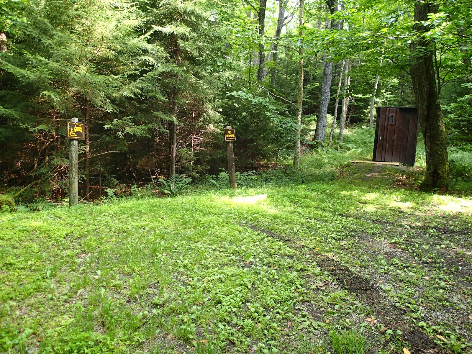
It was a one-lane gravel road, in fairly good condition, with red snowmobile markers.  There were some pull outs along the sides in case one encounters oncoming traffic. At 1.1 mile from the McKeever parking area, we found the trailhead for the Bear Lake Trail. It was not clearly marked and at first looked like a campsite on the right side of the road. We parked close to the entrance of what turned out be a semicircular driveway. Across the other entrance to the trailhead, we saw some markers for other trails but still no sign confirming that this was the Bear Lake Trail.  We were only assured it was the correct trail based on the GPS coordinates (N43.36.628, W75 04.127). There were some signs along Wolf Lake Landing Road warning about some narrow bridge (actually just where the road crosses some creek) and this parking lot was just after the second warning sign. 


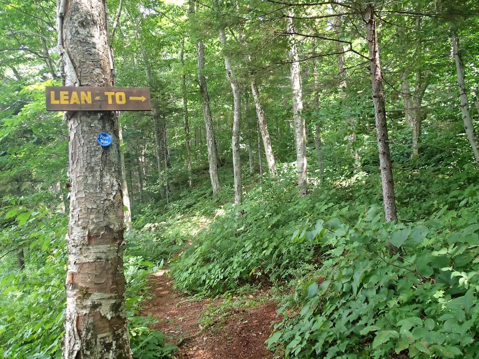
We started walking on the narrow trail that was almost completely overgrown with ferns and soon passed a small bridge over a stream.   Blue markers were easily visible which made it easy to follow the trail.  Gradually ascending, we crossed the stream several times, mostly over boulders, tree trunks or just jumping across.  At some areas, the trail was so wet we thought we were walking along a stream bed.


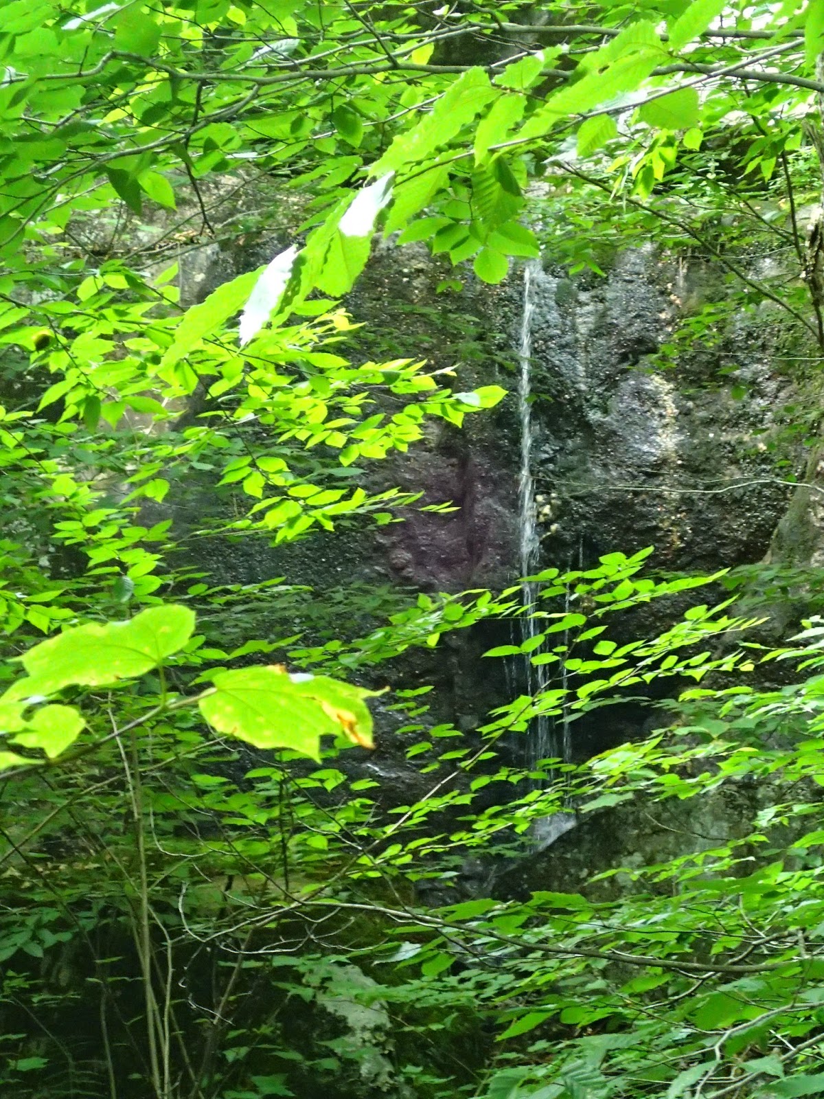
After a steep climb, 0.8miles later, we started to see views of the lake through the tall deciduous trees.  Walking alongside the creek, we heard the unmistakable sound of a waterfall, a narrow ribbon hiding behind the trees.


At 1.2 miles, we reached an unofficial campsite with a great view of the lake.  Bear Lake, is small, and according to the Adirondack Lakes Survey has a surface area of 1.97 sq. miles, maximum depth of about 15ft and mean depth of 6.5ft.  It was really peaceful with only a pair of loons on the water, entertaining us with their synchronized diving.

Bear Lake. Loons on right side of lake.

After having our fill of the loons, we continued on the trail as it made its way around the lake, again crossing the stream as it drains into the lake, this time over a small wooden bridge.  At around 1.5mile, we caught a glimpse of a lean to and made our way to it via an unmarked trail.  Built in March 2010 by a group of lean to rescuers, it looked almost new and very clean, including the nearby privy. There was a picnic table and a large fire pit.


Leaving the site, we found the real trail to the lean to and a sign which can only be seen coming from the opposite direction.  Along the shore, there was a beaten up old aluminum boat complete with a makeshift oar.  Still did not look seaworthy though.


With more trail ahead, we continued onward passing a bridge over a bigger stream until we reached a trail junction, one going to Woodhull Lake lean-to, the other to the Neejer Hill Trail. 


We followed the latter trail a short distance towards the shore where there was another unofficial campsite with a beautiful view of the lake.  From here, we retraced our steps back to the trailhead on Wolf Lake Landing Road.

Saturday, August 9, 2014

Nick's Lake Loop

Nick'a Lake Campground has over 20 miles of trails for hiking and biking.  On our first visit, we kayaked around Nick's Lake. This time. we decided to do Nick's Lake Loop, a 4.5mile hike that circles the lake.

From the parking lot, we followed the footpath towards the far end of the beach where a small sign marked the trailhead. We signed the registry at the foot of a nice bridge over the inlet then proceeded on the boardwalk over the wetland. We continued onward, taking note of landmarks provided by CNY Hiking.


boardwalk after bridge


.1mi - trail register


0.3 mi- small bridge over stream

The trail with it's yellow markers followed the southern shore of the lake.  The lake can be seen through the tall stands of spruces and hemlocks with a nice expansive view seen after crossing a small bridge over a stream.
.06mi - view of lake


.8mi - bridge over Nick's Creek


There was a longer bridge over Nick's Creek, the outlet of the lake, soon followed by a steep ascent of about 100 feet.


After passing the junction to the Remsen Falls Trail, the trail descended, and became muddy.  We were surprised to find tire marks on the trail for it  crossed a small stream strewn with large boulders and no bridge.
0.9mi- junction to Remsen Falls Trail


The junction to the Nelson Lake Loop was clearly marked but the foot trail was barely visible under the dense overgrowth suggesting little traffic going that way. At the junction to Bixby Road, the main trail becomes a narrower foot path.  If we did not want to pay the $10 campground day use fee, we could have started our hike from the Bixby Road parking lot.  But that's an extra 2 miles of hiking which was longer than what we were prepared to tackle.

1.8mi - Junction to Nelson Lake Loop

2.55mi-Junction to Bixby Road


We saw an unmarked but well-travelled trail and walked 0.1 mile to the shore of the lake.
2.8mi- Unmarked junction to shore


After crossing a small bridge, there was a small sandy beach on the right.

3.1mi


After crossing another slightly longer and nicer bridge, we started to ascend again to a map kiosk and the junction to Loop A parking.

3.2 mi

Map Kiosk, Junction to Loop A parking


 The trail continued along the ridge below towering white pines and some other hardwoods and evergreens with the lake below us.  Although tougher than the others, this is probably the prettiest section of the trail.  We started to see campsites on our left side.  Up to this point, the trail was clearly marked.  Somehow, we lost the markers.  When we saw campsites to our right, we knew for sure we lost the trail.  We decided to leave and trail and found ourselves on Loop B road when we should ended up on Loop E.  We made our way to the park road and back to the beach area parking lot. Next time, we would like to go back to the section of the trail that we missed.


 References:
1. Nick's Lake Campground. CNY Hiking
2. Herkimer County TrailsMap/Guide pg. 40
3. Nicks Lake. Department of Environmental Conservation
4. Black River Forest CNY Hiking.