Monday, August 15, 2016

Paddling on Limekiln Lake

Another opportunity to use our Sea Eagle inflatable kayak.


When we first visited Limekiln Lake Campground, we just went hiking but vowed to return to paddle on the lake.  It took us two years to return, but here we are.


Limekiln Lake, with a surface area of 457 acres is almost the same size as our own Kayuta Lake (461 acres) but more compact, it's widest diameter being 2 1/2 miles.

It was quite warm but thankfully, some clouds provided a little relief from the heat making for a very enjoyable paddle.  Through the clear water, we could see the rocky bottom of the lake, at least close to the shore.  No wonder there were many swimmers on the beach as well by the numerous waterfront campsites.

With 3 1/2 miles of shoreline, we had no plan to circle the whole lake. From the swimming beach area, we paddled until we almost reached the lake's easternmost shore which appears to be beyond the campground's border, there being a number of private camps around.


The lake was pretty quiet considering that the campground's 271 campsites were almost all occupied. Paddling was such a joy, sharing the lake mostly with  kayakers, some canoers and only 1 jet ski and a motorboat.


The day became even more memorable by these two loons, the first we have sighted this season.

Monday, August 1, 2016

Paddling on Seventh Lake

On one of our carefree days in Kayuta, we drove an hour to the town of Inlet towards Seventh Lake, the second largest lake on the Fulton Chain.  On a previous trip to Eight Lake, we saw that the campground has a dock on Seventh Lake but there did not seem to be an easy way to park and we would have had to pay an entrance fee to go there.  Instead, we opted to just use the fishing access site off Route 28.


It had a parking lot that could easily accommodate more than 10 cars at a time.  At the end of the parking lot was a building whch could have served as restrooms in the past but now, there are only 2 porta potties in front of it which thankfully were quiet clean.


Google Map of Seventh Lake;
Goff Island seen southwest of fishing access

Since the major part of the lake was towards the west, we headed off that way.  It was cloudy, the UV index 0, with 0 chance of precipitation, our ideal time to paddle.  Even though the wind was relatively calm, with only a few motor boats on the lake, the water was still a little bit choppy.  With the lake's average depth of 40 feet, maximum of 87 feet, we did not feel comfortable venturing too far away from the shores in our inflatable kayak.


With an area of 851 acres and an 11-mile shoreline, we knew we could only see a fraction of the lake with Goff Island as a good turn around point.  As we skirted the island, we could see the rocky bottom which accounted for the clarity of the water.  So unlike the murky bottom of Kayuta Lake. The island is forested and mostly uninhabited.  We saw about 2 dwellings at the western end of the island. The island was known by different names in the past but according to Adirondackalmanack.com, the current one was in honor of Isaac C. Goff who bought 4 acres of the island in 1898.  The remaining 11 acres remained state land.

Going northeast of the fishing access site, the lake became narrower with a small island in the middle of the channel.  Boats can dock on the island where picnics are allowed but no camping.


We circled around the island in a counterclockwise direction.  We noticed the lake was fairly
Google Earth photo 
shallow around the island particularly on its northern border.  The channel there was strewn with logs sticking out of a sandbar, our kayak touched bottom a few times.  We had to back out and try different routes before we finally made it through.  A google earth photo later revealed just how shallow that area was.


After the boat ride ended, we had our picnic lunch while waiting for our kayak to dry.  Later on, we discovered a trail starting from the end of the parking lot. This led to several picnic and swimming areas.

Not a bad place to return for some more paddling and picnic.


Monday, September 7, 2015

Paddling on North Lake

 When we first visited North Lake, we were enthralled by the serenity of the lake and promised to come back to do some paddling.  We finally got the chance to do it on the last Friday of August.  It was a cool, mostly cloudy day but with 0% chance of precipitation, we just had to go.


Unlike the first time when we were just driving through, we signed up at the registry as a day user.

It was still early in the day so there were still a few prime camping sites available.  Although we were not planning to spend the night, it was necessary to secure a campsite where we could set up our inflatable Sea Eagle kayak. Very close to the park register is Site #3 which appeared adequate and it was even close to a fairly clean outhouse.


 The water was very calm that day with hardly any wind, at least at the beginning of our paddle.   Even though we could see a few homes on either side of the lake, it was extremely quiet.  There was only one other vessel in the water, a slow moving pontoon boat.  Surrounded by a dense forest, it felt like a real wilderness.  The water was blackish characteristic of the Black River but still clear in the shallow places, where rocks and boulders can be seen at the bottom, as well as the shore.  Some areas have sandy beaches, including some of the small islands in the middle of the lake.

We would have loved to see a loon or two but sadly, we did not see any nor any other waterfowl.  Even the geese were nowhere around even though their droppings were all over the campsite.  Have they already left for the winter?


After an hour of paddling, we felt we've reached our half-way point and it was time to head back to our campsite.  With an area of 307-acre, North Lake was a little too big for us to completely navigate in 1 day.

On the way back, we decided to put our kayak into Site #5 which had a really nice sandy beach which appeared to have been ignored by the geese.   After our kayak had dried and been packed and we've had our picnic lunch, we set out with the idea of returning someday.  We then hope to pick a campsite further up the road to make sure we'll reach the northern end of the lake.


Monday, August 24, 2015

Eight Lake

We love visiting the Fulton Chain of Lakes in the Adirondacks. We've cruised the Lower Fulton Chain which starts at Old Forge and continues for 10 miles from the First to the Fourth Lake on a rented pontoon boat but we've never paddled on our own. These first 4 lakes were just too busy with power boats for our comfort.  The pond-like, 13acre Fifth Lake which is accessible from Fourth lake appears just a bit too small.  A portage for boats is necessary to reach Sixth Lake which then continues to Seventh Lake.  From there, another portage is necessary to reach Eight Lake.


But, there is a state campground that allows boats to be launched on either Seventh or Eight Lake.  And so, for a chance to finally do some paddling on the Fulton Chain, we headed off for the Eight Lake Campground which is conveniently located along State Route 28 between Seventh and Eight Lakes about 1 hour from Kayuta Lake.


Eight Lake Campground Map

Although the campground is located on the southeastern shore of Eight Lake, it has campsites extending to Seventh Lake where it also has a boat launch .  With an area of 851-acre and an 11-mile shoreline, Seventh Lake, is the second largest lake on the chain, the largest being the 2,050-acre Fourth Lake. Some websites (e.g, landlubbers.com; adirondacks.com) mentioned how challenging it could be to paddle here when it is windy.  Although it was a calm day, we decided to go to the smaller, 303 acre, Eight Lake.

Seventh Lake


We drove towards the north end of the campground, passing by some of the 126 tent and trailer sites, many of which were occupied.  We parked by the picnic area and proceeded towards the beach between the swimming area and the boat launch to set up our Sea Eagle inflatable kayak.


Eight Lake Beach
Initially wary about the predicted high and humid temperature, we were surprised to find how pleasant the weather was.  The average depth of this lake is 39 feet, with a maximum depth of 81 feet.  Although the lake was also formed by a dammed river (Moose River) like Kayuta Lake (Black River), the water was extremely clear, so clear that we could see sand and rocks at the bottom even beyond 4 feet of water.  We wished our lake was also this clear.


Completely surrounded by wooded and undeveloped land, the lake was mostly quiet. There were only a few kayakers and canoeists sharing the water with us, the calm only briefly interrupted by two jet skiers.


After passing a small island, we saw one of the three lean-tos on the lake. 


Although we were unable to completely circumnavigate the lake, we did see the north end of it.  Soon after we turned around, we were entertained by 2 loons actively diving for food.


Thursday, July 23, 2015

Finger Lakes - Cayuga Lake Wine trail

Map of New York's Finger Lakes
Just a short drive from Kayuta is one of the nation's top tourist destination- the Finger Lakes. More than a hundred thousand years ago, ice sheets flowed southward from Canada gouging enormous holes in this region.  When the final glaciers receded, they left incredible gorges, waterfalls and lakes. The 11 lakes, which lay nearly parallel to each other within about a 75 miles long span roughly from Syracuse to the east and Rochester in the west and extending to Elmira-Corning in the south, appear like splayed out fingers (the imprint of the Creator's hand, per a Native American lore) leading to the name. They range in length from a mere 3 miles (Canadice) to 40 miles (Cayuga) and a depth of 30 ft (Honeoye) to 618 ft (Seneca). Although not one of the 11, Oneida Lake at the region's easternmost boundary, is sometimes considered the "thumb".

The Finger Lakes region is considered by many wine magazines as the most important wine region in the eastern United States.  The region's wine making history started with the first vineyard in 1829 and the first commercial winery in 1839.  Dozens of wineries came and went until 1880 when the highly successful Taylor Wine Company made the region the center of New York's wine industry. In the 1960's Dr. Konstantin Frank and Charles Fournier started growing European varieties which skeptics thought would not thrive in the East and produce world class wines, their success leading to the "vinefera revolution". Now with over 100 wineries spread in 7 of the 11 lakes, the region produces 90% of New York wines,  many award winners that can stand alongside California's best - Pinot Noir, Cabernet Franc, Chardonnay and Gewurztraminer and others.


Cayuga Lake's Scenic Byway Map

At the center of the region is Cayuga Lake, the longest and second deepest of the Finger lakes at 38.2 miles long and 435 feet deep at its deepest point. Reaching 53 feet below sea level, it is among the deepest lakes in North America, along with Seneca Lake (618 ft, maximum depth).  Having an altitude lower than that of the other Finger Lakes, Cayuga has the longest growing season (190 -205 days), a definite advantage for the production of vinifera varieties.  There are 26 wineries along the lake of which 16 are members of the  Cayuga Lake Wine Trail, the first organized (1983) and longest running wine trail in the United States, which also include 1 cidery, 1 meadery and 4 distilleries.

And so, we chose to visit Cayuga Lake, not just for their wineries but for the other attractions which will be covered at another time.

 Several companies offer tours to the wineries.  We decided to do it on our own so we can choose where we go.  At the Goose Watch Winery, we first enjoyed a picnic lunch on their grounds overlooking scenic Cayuga Lake. Then for a fee of $3, my husband got to taste 6 different wines.  Being the designated driver, I could only watch and occasionally take a little sip. 


Some places like our next stop, the Cayuga Ridge Estate Winery offer winery tours, but we wanted to do some more sightseeing so we just did the wine tasting.  We had planned to hit at least 4 wineries but after tasting 12 wines, my husband has had enough alcohol for the day.  Although spitting is allowed, he did not want to waste any of the good wine he was tasting.

Having jotted down the names of the wines we would pick up on our way home the next day, we ended our very short wine tour hoping to come back another time for more.


Saturday, July 11, 2015

North Lake and South Lake - Sources of the Black River


We know Kayuta Lake is just a dammed portion of the Black River which eventually flows northwest,  ending at the eastern end of Lake Ontario.  The major source of the Black River is North Lake in Herkimer county, at the foothills of the Adirondacks about 25 miles east of Boonville. East of its southern end lies South Lake, the second source of the Black River.


To get to these two sources, we drove north on Route 28, turned right immediately after crossing the Forestport Reservoir then right again at Woodhull Road. We followed the road which eventually became North Lake Road.  After about 15.5 miles (the last 1.6 miles unpaved), we reached the North Lake Reservoir.


We veered right onto South Lake Road, passing Wolf Creek Road which went along the southeast side of  North Lake, a private road with a " No Trespassing" sign.  Arriving at South Lake, we were awed by the beauty and peacefulness of the lake which was however marred by the swarm of black flies we had to fend off as soon as we got off the car to take this picture.


South Lake


The 486-acre South Lake averages about 25 feet deep with a maximum depth of 60 feet. It's dam is still the original that was built in 1859 to create this reservoir to ensure constant flow to the Erie Canal.  There was a boat launch (which some campers told us is open to the public) and at least two small waterfront campsites by the road.  Shortly after the campsites, the road forks, the right following the shoreline (South Lake Club Road) leading to private camps, the road blocked by a locked gate.  The left fork, Honnedaga Lake Road would have taken us to Honnedaga Lake which was not in our plan for the day so we turned around and retraced our route back to North Lake.


Immediately after the dam on North Lake, we turned right onto the Loop Road.  Near the beginning of this dirt road, there was a kiosk where campers and day users are supposed to sign in.  We learned from the poster there that the current dam has been here since 1899. Like South Lake, the dam was built to provide water to the Erie Canal.  The original dam was completed in 1857 but failed due to massive flooding in 1869.


North Lake Dam


North Lake has an area of 307 acres and averages about 18 feet deep, with a maximum depth of about 50 feet.  It's shoreline is mostly forested.
A campsite's view of North Lake 

As part of the 121,506 acre Black River Wild Forest, the North Lake and South Lake Recreation Area offers opportunities for camping,  hiking, boating and fishing.  We saw some of the campsites (number 2-22) by the side of the loop road.  Most of the lakeside sites have beautiful views of the lake, some with easy launching sites for canoes and kayaks, some even adjacent to privies.  Black flies, though were also a nuisance here. 


Left gate on north end of the North Lake

After about 4. miles, the Loop Road ended at  2 gated trails right after a large DEC parking area. The left is a continuation of the Loop Road while the right is Wolf Creek Road which would eventually go to the east side of the lake where most of the other public campsites (#23-32) are.  These sites can only be accessed by boat or by hiking.


Unable to explore any farther, we turned around and headed back home.  North and South Lake look like interesting possibilities for a future kayak trip.  But only when the black flies are not around.


Saturday, August 16, 2014

Bear Lake


Bear Lake Trail is in the Black River Wild Forest in the Adirondack Park. From Kayuta Lake, we took NY28 North into the Adirondack Park past White Lake.  Before crossing the bridge over the Moose River (which was unidirectional at the moment because of bridge construction), we turned right on McKeever Road where there was a DEC sign at the corner.


Shortly, we followed a right fork on the road with a sign that stated "Access to State Land".  We crossed the railroad tracks and found the McKeever Trailhead parking area where we saw a kiosk and signed the trail registry.  Two dirt roads lead out of the parking area.  The one on the left is the Woodhull Mountain Trail that led to a number of trails including the Bear Lake Trail (0.5mi) and as far as the Bear Creek Parking area via Woodhull Lake lean-to (13.1mi).  Although it was marked a foot trail, we saw a car drive that way.  The one on the right is the Wolf Lake Landing Road which was slightly wider than the other road. The barrier was open so we proceeded that way.


It was a one-lane gravel road, in fairly good condition, with red snowmobile markers.  There were some pull outs along the sides in case one encounters oncoming traffic. At 1.1 mile from the McKeever parking area, we found the trailhead for the Bear Lake Trail. It was not clearly marked and at first looked like a campsite on the right side of the road. We parked close to the entrance of what turned out be a semicircular driveway. Across the other entrance to the trailhead, we saw some markers for other trails but still no sign confirming that this was the Bear Lake Trail.  We were only assured it was the correct trail based on the GPS coordinates (N43.36.628, W75 04.127). There were some signs along Wolf Lake Landing Road warning about some narrow bridge (actually just where the road crosses some creek) and this parking lot was just after the second warning sign. 


We started walking on the narrow trail that was almost completely overgrown with ferns and soon passed a small bridge over a stream.   Blue markers were easily visible which made it easy to follow the trail.  Gradually ascending, we crossed the stream several times, mostly over boulders, tree trunks or just jumping across.  At some areas, the trail was so wet we thought we were walking along a stream bed.


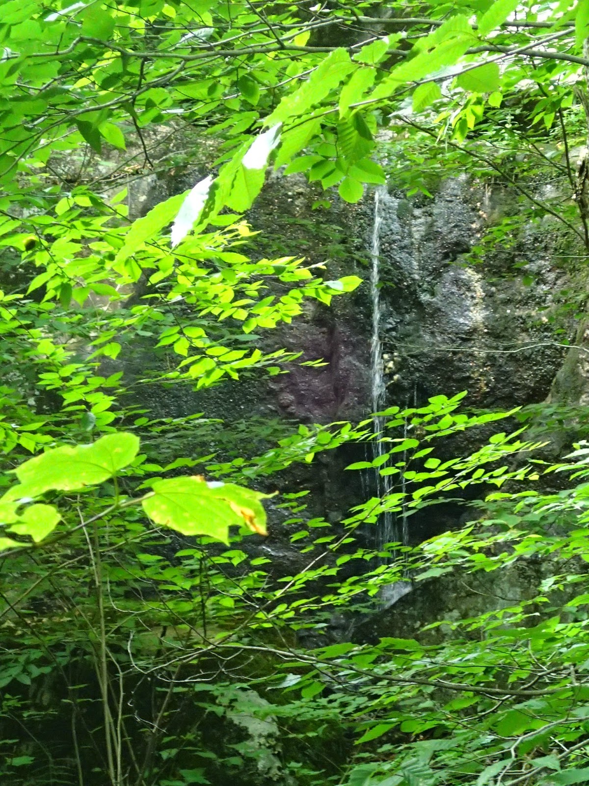
After a steep climb, 0.8miles later, we started to see views of the lake through the tall deciduous trees.  Walking alongside the creek, we heard the unmistakable sound of a waterfall, a narrow ribbon hiding behind the trees.


At 1.2 miles, we reached an unofficial campsite with a great view of the lake.  Bear Lake, is small, and according to the Adirondack Lakes Survey has a surface area of 1.97 sq. miles, maximum depth of about 15ft and mean depth of 6.5ft.  It was really peaceful with only a pair of loons on the water, entertaining us with their synchronized diving.

Bear Lake. Loons on right side of lake.

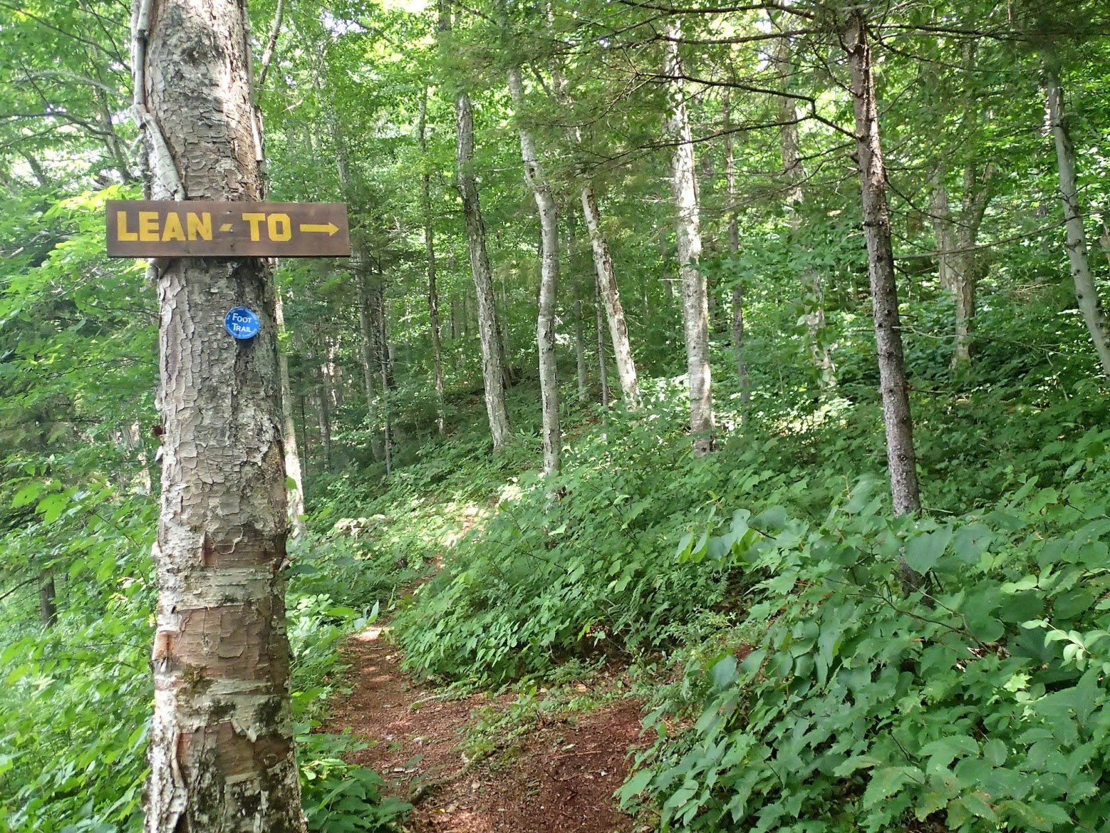
After having our fill of the loons, we continued on the trail as it made its way around the lake, again crossing the stream as it drains into the lake, this time over a small wooden bridge.  At around 1.5mile, we caught a glimpse of a lean to and made our way to it via an unmarked trail.  Built in March 2010 by a group of lean to rescuers, it looked almost new and very clean, including the nearby privy. There was a picnic table and a large fire pit.


Leaving the site, we found the real trail to the lean to and a sign which can only be seen coming from the opposite direction.  Along the shore, there was a beaten up old aluminum boat complete with a makeshift oar.  Still did not look seaworthy though.


With more trail ahead, we continued onward passing a bridge over a bigger stream until we reached a trail junction, one going to Woodhull Lake lean-to, the other to the Neejer Hill Trail. 


We followed the latter trail a short distance towards the shore where there was another unofficial campsite with a beautiful view of the lake.  From here, we retraced our steps back to the trailhead on Wolf Lake Landing Road.