Boonville to Hawkensville Road
July 22, 2010
This time, we headed to Boonville, the end of the feeder trail.

At Erwin Park, a covered bridge crosses the canal close to the start of the trail.
The trail surface here appeared more even, making it easier to ride compared to the 2 previous segments. It's a popular walking and jogging path for residents nearby.
Although there were still some forested sections, plentiful wildflowers, birds, and butterflies (one of which seemed to follow me through the whole course), it was even less remote than the segment from Edmonds Rd to Hawkensville. Some roads were visible beside the trail and there were no meadows to behold. The trail was broken by several roads which we had to cross.

It was a treat to see these kayakers who gave us a demonstration on how to cross under this low bridge on Sargent Road.
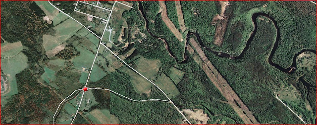
During our previous rides from Forestport and Edmonds Road, the feeder canal had been closely following the route of the Black River. At about the Moose River Road crossover, the canal diverged from the river, going southward to Boonville while the Black River continued northward to Lake Ontario. This information I gathered looking at Mapquest's aerial map.

Three miles later, we reached our goal - the completion of the feeder canal bike trail. It took us 3 days to ride the whole trail but hey, this was my first foray (not my husband's) into distance biking.
Next time, I hope to make this in one trip.


0 Comments:
Post a Comment