Nick'a Lake Campground has over 20 miles of trails for hiking and biking. On our first visit, we kayaked around Nick's Lake. This time. we decided to do Nick's Lake Loop, a 4.5mile hike that circles the lake.

 |
| boardwalk after bridge |
 |
| .1mi - trail register |
 |
| 0.3 mi- small bridge over stream |
The trail with it's yellow markers followed the southern shore of the lake. The lake can be seen through the tall stands of spruces and hemlocks with a nice expansive view seen after crossing a small bridge over a stream.
 |
| .06mi - view of lake |
 | |
| .8mi - bridge over Nick's Creek |
 There was a longer bridge over Nick's Creek, the outlet of the lake, soon followed by a steep ascent of about 100 feet.
After passing the junction to the Remsen Falls Trail, the trail descended, and became muddy. We were surprised to find tire marks on the trail for it crossed a small stream strewn with large boulders and no bridge.
 |
| 0.9mi- junction to Remsen Falls Trail |

The junction to the Nelson Lake Loop was clearly marked but the foot trail was barely visible under the dense overgrowth suggesting little traffic going that way. At the junction to Bixby Road, the main trail becomes a narrower foot path. If we did not want to pay the $10 campground day use fee, we could have started our hike from the Bixby Road parking lot. But that's an extra 2 miles of hiking which was longer than what we were prepared to tackle.
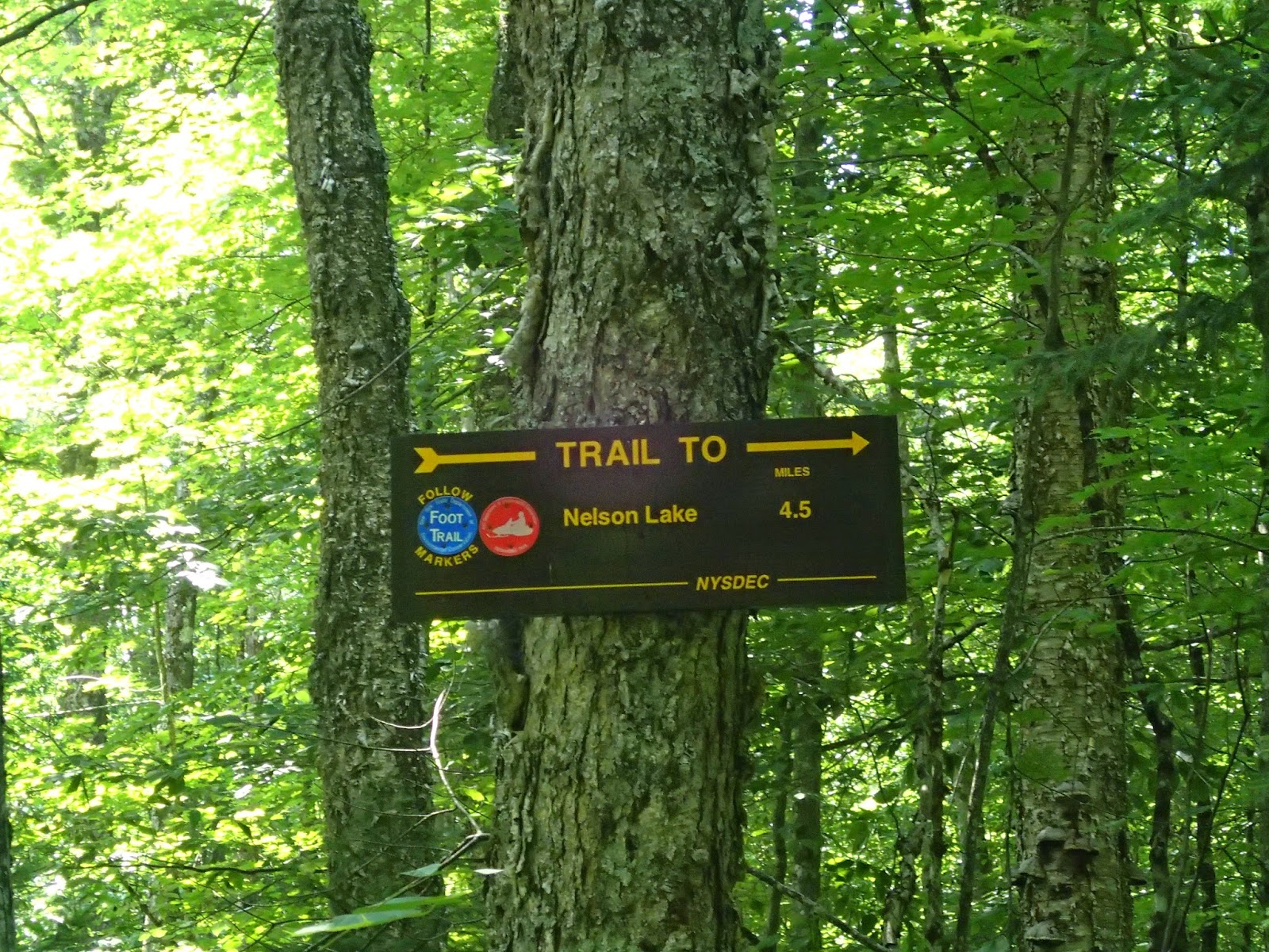 |
| 1.8mi - Junction to Nelson Lake Loop |
 |
| 2.55mi-Junction to Bixby Road |
We saw an unmarked but well-travelled trail and walked 0.1 mile to the shore of the lake.
 | |
| 2.8mi- Unmarked junction to shore |

After crossing a small bridge, there was a small sandy beach on the right.
 |
| 3.1mi |

After crossing another slightly longer and nicer bridge, we started to ascend again to a map kiosk and the junction to Loop A parking.
 |
| 3.2 mi |
 | |||
| Map Kiosk, Junction to Loop A parking |

References:
1. Nick's Lake Campground. CNY Hiking
2. Herkimer County TrailsMap/Guide pg. 40
3. Nicks Lake. Department of Environmental Conservation
4. Black River Forest CNY Hiking.
0 Comments:
Post a Comment